I grew up with my dad being able to change a contact lens while barreling down the 5 Freeway in Downtown Los Angeles, and now he’s sitting next to me as the rental car im driving skids to a halt in volcanic mud of rural Veracruz. We’re on our way to Tres Zapotes, one of the three major Olmec centers in Gulf region. The GPS chimes in with “turn right.” Sugarcane workers smile as they walk past, gliding effortlessly through the slick in their rubber boots and rain coats. I look right, and it’s more of the same earthen roads. We’d gone too far to give up, and we pressed on through the mud.
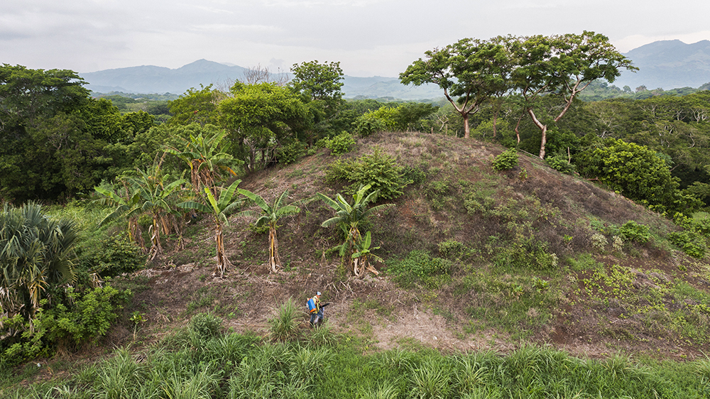
This mud though holds the key to understanding this place- eons ago the Tuxtla volcanoes laid down this fertile soil and became the agricultural foundation for Mesoamerican society to take root. The giant basalt flows would became the exquisitely carved heads and alters. Now, Im struggling up the side of mound in Group 2 where farmers are still planting the corn that made the ancient populations flourish. The fields stretch as far as I can see into the clouds, and cows still meander and graze on top of the mounds.

My first visit ended with an indelible visit to the site museum and all of its artifacts, and more questions that I hadn’t intended. Little did I know that the following years would yield not only more returns to this place, but also answers.
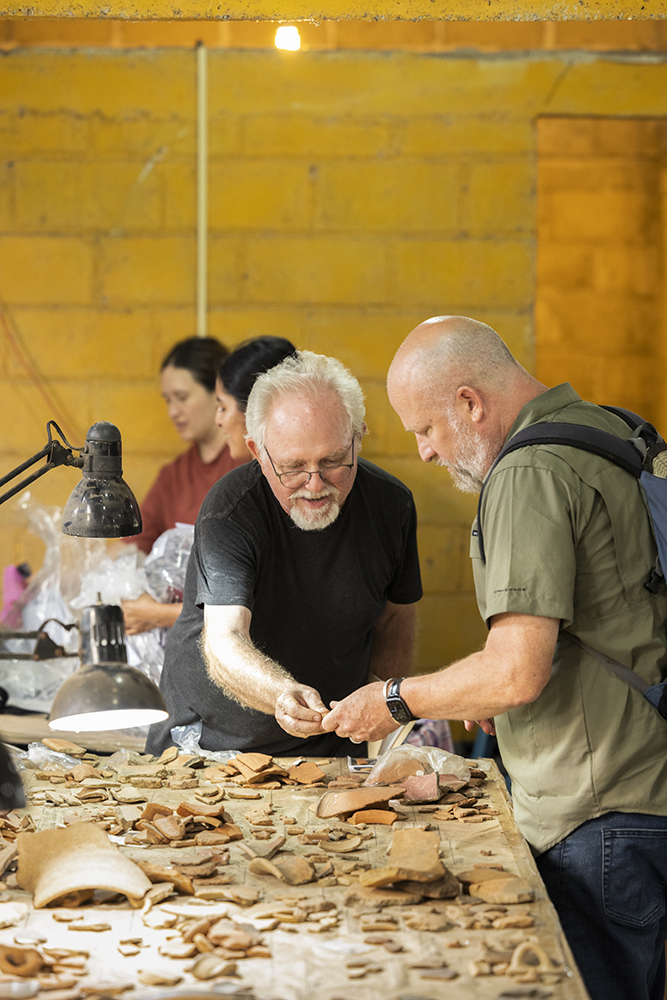
Time spent with archaeologist Alberto Ortiz Brito and his on-going research has revealed new insights. Based on excavating in the area in Group 1, where the original Hueyapan Colossal Head was discovered, he has concluded that the basalt head was indeed a feature that anchored the complex. He shares that “it seems that the people built this place and intentionally resettled the monument to make it part of the spatial delineation of this complex.”
Part of the past archaeological endeavors that allowed new interpretation of the site was the 1995 Regional Archaeological Survey. Carl Wendt, who conducted the research, was able to find traces of civilization that was buried under the mud that river deposited year after year. After deploying an auger testing program, Wendt was able to understand the how far the occupation spread across the site, which gave “better indications to extrapolate the site’s size and estimated population levels; which is really critical when you’re talking about spatial organization.”

Archaeologist Christopher Pool, who has been excavating at the site for over thirty years, explains the importance and the longevity of the site. “It has a very long occupation, for over two thousand years.” The longevity of site is backed up by the inscription on Stela C, which found here has a long count date that is the second earliest known in Mesoamerica.
Pool’s work understanding the layout of the site reveals that there appears to be a change in the spatial arrangement as time progressed. This change occurred around 400 BC and included a reorganization of sites groups around a common urban principal. Each of the four centers of this period are anchored with a central pyramidal mound surrounded by a long mound, and adjacent smaller structures. Based on these similarities, he has concluded this constructed environment reinforces “a more distributed kind of power structure,” one that would be more evocative of “a confederation or shared political control at the site” described by Nathan Wilson’s understanding of the research.
With over two thousand years of habitation and ways of living manifested at a singular place, Tres Zapotes offers new ways of looking at civilization. Carl Wendt goes on to explain, “It shows us how political and economic transitions occur through this long period of time,” and archaeologist Robert Kruger continues: “Why does that happen? What are the mechanisms for that? How do we get from a society where everyone is pretty much equal, to a society where there is systemic inequality?” Questions that are even more salient as we finish the first quarter of the 21st century.


Recent Comments